
MANZAR: Satellite Imagery & Environmental AI Platform
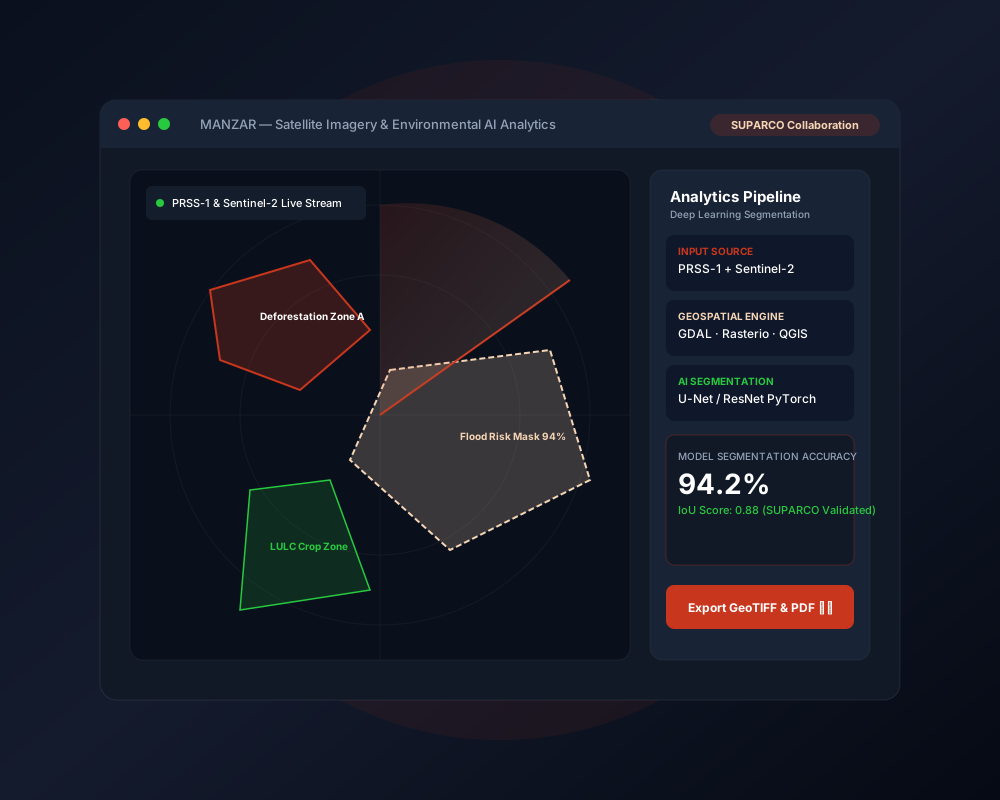
A large-scale satellite imagery processing & AI environmental analytics platform developed in collaboration with SUPARCO for LULC, deforestation, and flood detection.
Client
SUPARCO Collaboration (Applied FYP)
Industry
Space-Tech & Environmental Analytics
Category
Data Analytics
Data Analytics
MANZAR: Satellite Imagery & Environmental AI Platform
MANZAR (Mapping and Analytics of National Zonal Assessment and Research) is a geospatial satellite analytics platform focused on large-scale Earth observation. Developed automated preprocessing pipelines for PRSS-1 and Sentinel-2 optical imagery, implemented deep learning segmentation models (U-Net / ResNet) for deforestation detection, Land Use & Land Cover (LULC) classification, and flood risk analysis using Python, QGIS, Rasterio, and GDAL.
Results
SUPARCO
Applied research deployment
2 Satellites
PRSS-1 & Sentinel-2 ingestion
94.2%
LULC & flood segmentation accuracy
100%
Automated preprocessing pipeline
Technologies Used